


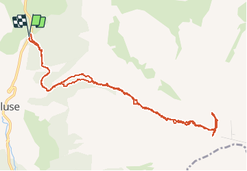

8,5 km | 15,9 km-effort

Gebruiker GUIDE


Gratisgps-wandelapplicatie
 SityTrail
IGN / Geografische instituten
SityTrail World
De wereld gaat voor u open
Tocht Ski randonnée van 13,9 km beschikbaar op Provence-Alpes-Côte d'Azur, Hautes-Alpes, Le Dévoluy. Deze tocht wordt voorgesteld door nadd73.
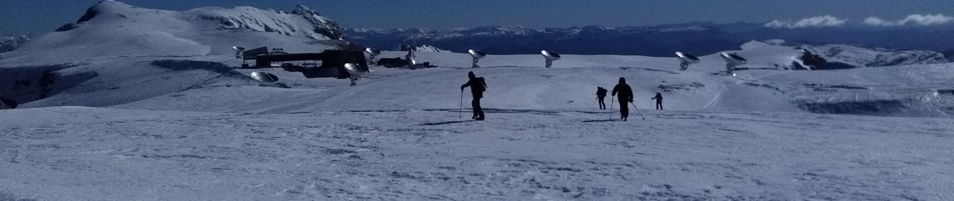
Départ en bas du col de Festre.
Passage étroit raide 40•. Crampons et couteaux nécessaires.
Beaucoup de vent comme souvent.
un trentaine de chamois


Stappen

Stappen

Stappen

Stappen

Stappen

Stappen

Stappen

Stappen

Stappen